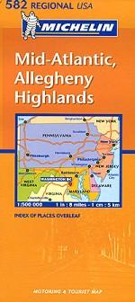
Slightly flimsy map of the Mid-Atlantic states from New York in the North down to Northern Virginia and stretching from the Atlantic coast to West Virginia in the West. Clear road markings, good scale and an index of places. Scale 1:500000. Index of Places Overleaf.
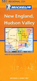
Has the largest scale of the New England road maps but only reaches as far north as Maine and does not include city plans. Scale 1:500000. Index of Places Overleaf.