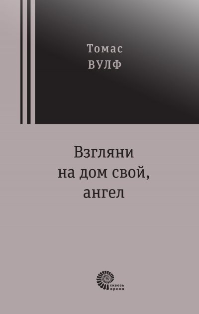
книги Компьютеры и Интернет Операционные системы и сети Сети

Application of GIS in defining Urban Heat Island using Transect data. Urban Heat Island using GIS mapping

Код 1458377

Нет в продаже

Аннотация к книге "Application of GIS in defining Urban Heat Island using Transect data. Urban Heat Island using GIS mapping"

This book is intending to help the researchers who get involved in research of urban climate change, as it defines the existence of Urban Heat Island (UHI) effect of Manchester city by using Geographical Information System (GIS) software. Furthermore, it will be easy to know how spatial patterns and temporal variability of Urban Heat Island effect during diurnal cycle of the day is predominantly expresses the magnitude of UHI. This increasing effect of urban climate change gives the tremendous pressure in global climate change.

Данное издание не является оригинальным. Книга печатается по технологии принт-он-деманд после получения заказа.

Оставить комментарий

Оцените книгу:

Издательство: Книга по требованию
Дата выхода: июль 2011
ISBN: 978-3-8433-8005-8
Объём: 72 страниц
Масса: 129 г
Размеры(высота, ширина, толщина), см: 23 x 16 x 1

Вместе с этой книгой покупают

Просмотренные товары